


Notes:
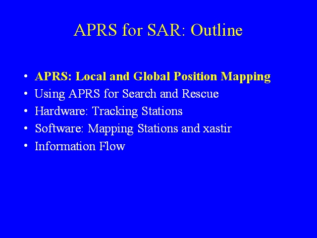
Outline For Talk
1) APRS involves both local mapping of the positions of nearby stations and a global internet infrastructure that captures position and weather data from around the world.
2) A brief look through some things that can be done with APRS, plotting the location of stations on maps, plotting the location of stations on aerial photos, search and rescue capabilites, and weather capabilites.
3) The components involved in making a mapping station.
4) The components involved in a mapping station, including software and maps.
5) How APRS works – how the information moves around.
[Note: this presentation has been modified from a more general APRS presentation and not all notes have been updated]