


Notes:
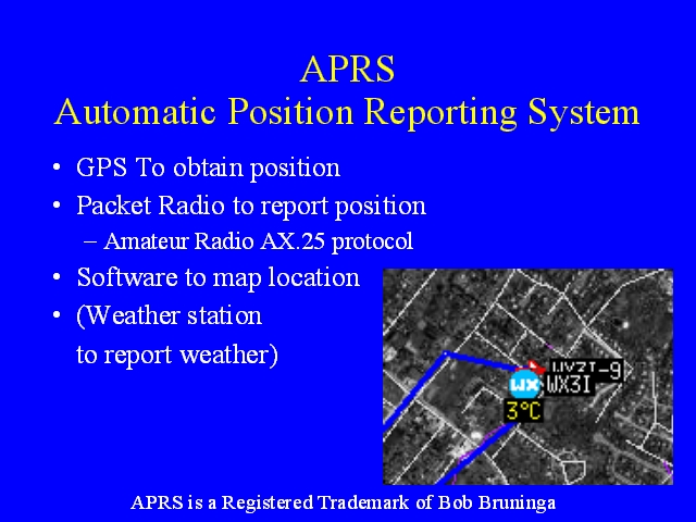
APRS, the Automatic Packet Reporting System, uses GPS to obtain the position of a station, packet radio to transmit and receive the position of the station, and software to draw the location of the station on a map. APRS can handle other sorts of information as well, such as weather stations reporting the weather at their location,